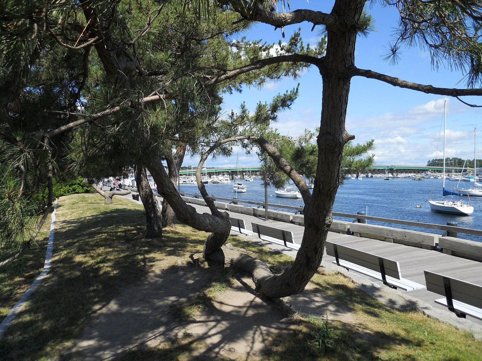
Clipper City Rail Trail
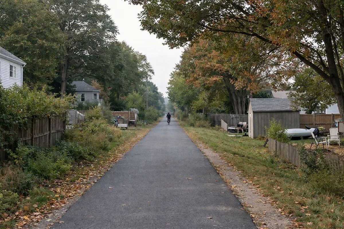
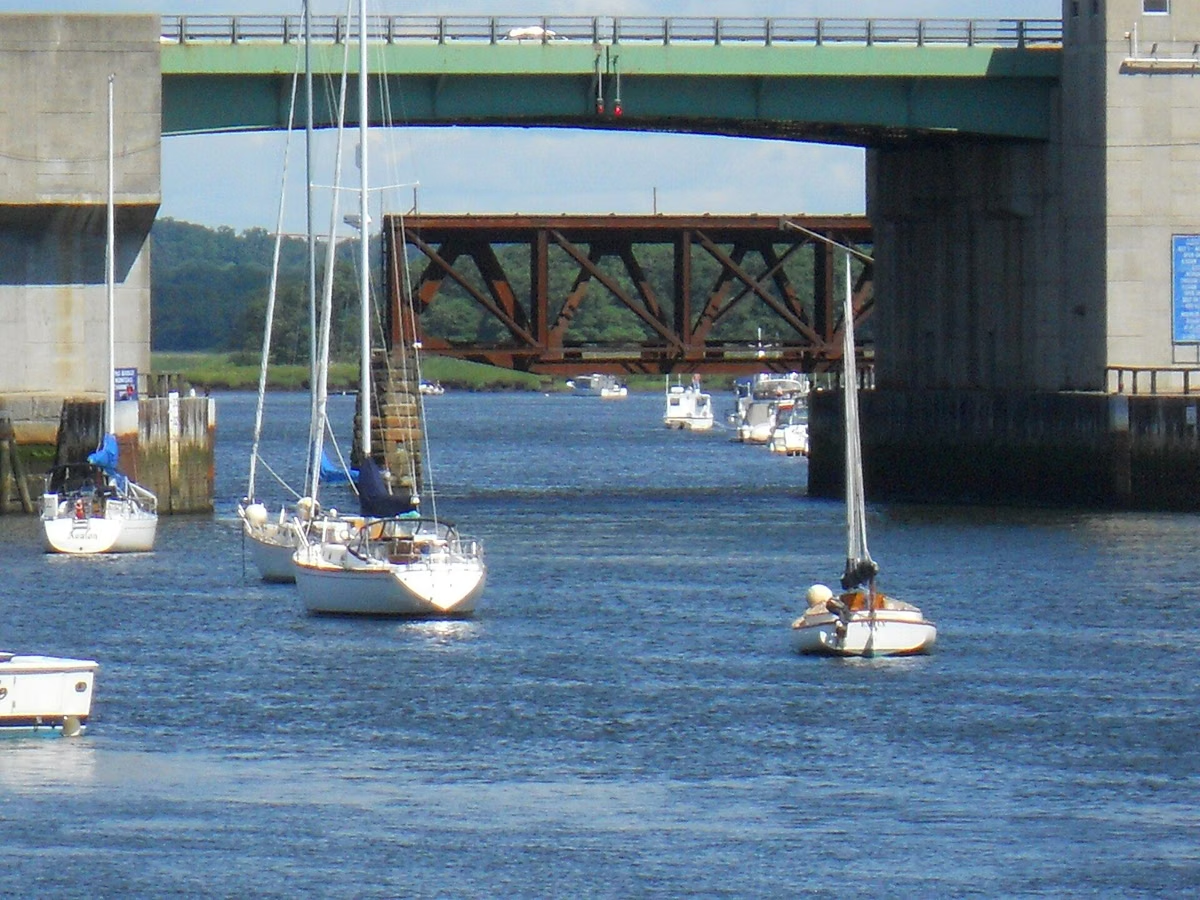
The Clipper City Rail Trail is a 3.35-mile paved loop around downtown Newburyport, Massachusetts, for walkers, runners, bikers and other non-motorized users. It links the MBTA commuter rail station with the Merrimack River waterfront and the Harborwalk, and passes parks, neighborhoods, public sculptures, murals and gardens along the way. The City of Newburyport built it over about 25 years, and the last pieces of the loop were finished in 2024. It pairs well with a morning on the estate trails at Maudslay State Park, also in Newburyport.
The Rail Trail at a Glance
The Route
The trail travels around the downtown core of Newburyport, connecting the MBTA commuter rail station with the waterfront, parks and neighborhoods. The city's page describes it as being for both transportation and recreation.
The shoreline section behind the city's wastewater treatment plant was rebuilt on a raised stone revetment and berm that protects the plant from storm surge and sea-level rise, with the paved trail on top. It opened in late May 2021, complete with a shipwreck play sculpture for kids.
What You'll See
- Public sculptures, including interactive pieces for children.
- Murals and gardens; the city says spots along the corridor keep being adopted and improved.
- Historical interpretive signs.
- Creative seating.
The city says thousands of people use the trail, and more than half of them are daily users.
Who It's For
The trail is paved and open to walkers, runners, bicyclists and other non-motorized users, with bikes welcome. At the south end of the loop, the city installed a pedestrian-activated traffic signal to cross State Street at Parker Street.
Connecting Trails
The Clipper City Rail Trail is part of a larger regional Coastal Trails Network that continues into the neighboring towns of Newbury, Amesbury and Salisbury. MassDOT's Route 1 project in Newburyport included a multi-use path link and pedestrian signals at the rotary, one of the last missing pieces of the loop.
Rail Trail vs. Maudslay's Trails
- Pick the rail trail for a flat, paved loop with downtown, the train and the waterfront.
- Pick Maudslay for woods, meadows, gardens and unpaved carriage roads, plus horse and ski trails (see Maudslay trails).
- Do both: Maudslay in the morning, lunch downtown, then the waterfront section of the loop. More ideas in things to do in Newburyport.
Before You Go
The city's rail trail page focuses on the trail's design and construction history; it doesn't list hours, parking or pet rules. Check posted signs at the access points, and see the city's Clipper City Rail Trail & Harborwalk page for updates.

Rail Trail FAQ
How long is the Clipper City Rail Trail?
3.35 miles, as a paved loop around downtown Newburyport (City of Newburyport).
Where does the Clipper City Rail Trail start?
It's a loop, so anywhere along it. It connects the MBTA commuter rail station in Newburyport with the waterfront and Harborwalk.
Can you bike the Clipper City Rail Trail?
Yes. It is a paved multi-use path for walkers, runners, bicyclists and other non-motorized users.
Is the Clipper City Rail Trail finished?
The city says the last segments of the loop were completed in 2024.
Facts checked against the DCR page for Maudslay State Park on October 18, 2026.