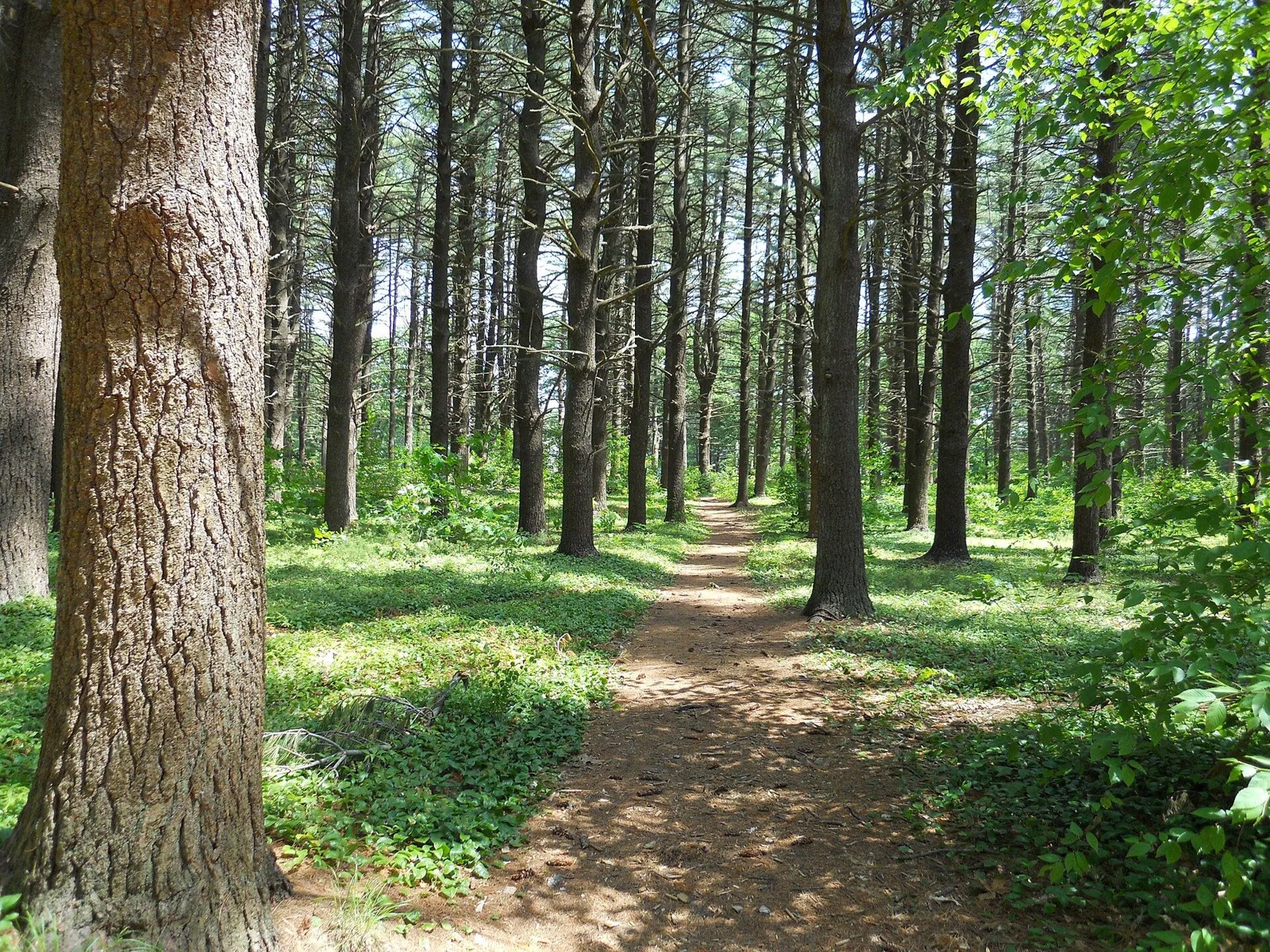
Trails & Hiking
Maudslay State Park has 16 miles of trails through fields, forests and the old estate's gardens, and every route DCR suggests starts at the main lot on Curzon Mill Road in Newburyport. The paths include the estate's old carriage roads and trails, shared by walkers, bikers, horseback riders and, in winter, cross-country skiers. DCR's three suggested routes are an easy 1–2 mile walk, the 2-mile Merrimack River Trail, and a 5-mile ride on the bridle paths.
DCR's Three Suggested Routes, Side by Side
DCR's trail map gives no length for any single trail, so these are the three routes with distances in DCR's own hiking guide. Tap a chip to show only the easy one.
Showing all 3 marked trails. These are DCR's suggested routes, not single trails.
| Trail | Miles | Time | Difficulty | Shape | Bikes |
|---|---|---|---|---|---|
| Introductory walk: Pasture Trail and Long Border Trail (1 to 2 miles) | 2 | Up to 1 h 20 min | Easy | – | – |
| Merrimack River Trail | 2 | 1 h 20 min | Moderate | – | – |
| Ride the Bridle Paths | 5 | – | Moderate | – | – |
Miles and difficulty are DCR's, from its Suggested Hikes, Rides and Paddles PDF. The introductory walk is 1 to 2 miles there and is shown at the 2-mile end. Times are the miles divided by the 1.5 mph average pace DCR plans on in the same PDF. The bridle-path route is a horseback ride, so it has no walking time. DCR gives no area, bike rule or loop shape for any route. A dash means the source doesn't say; those trails drop out when you filter on that column.
Trails at a Glance
DCR's Suggested Routes
Easy: Explore Maudslay's Natural and Historic Landscapes (1–2 miles)
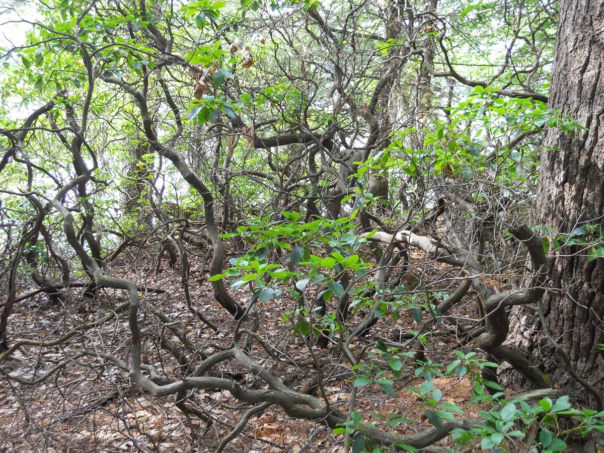
Head out the Pasture Trail from the main lot. Turn right across the three-arch stone bridge to explore natural woodland of pines and mountain laurel, or turn left onto the Long Border Trail for the park's historic landscapes and gardens. DCR rates it easy and suitable for families with children.
Moderate: Merrimack River Trail (2 miles)
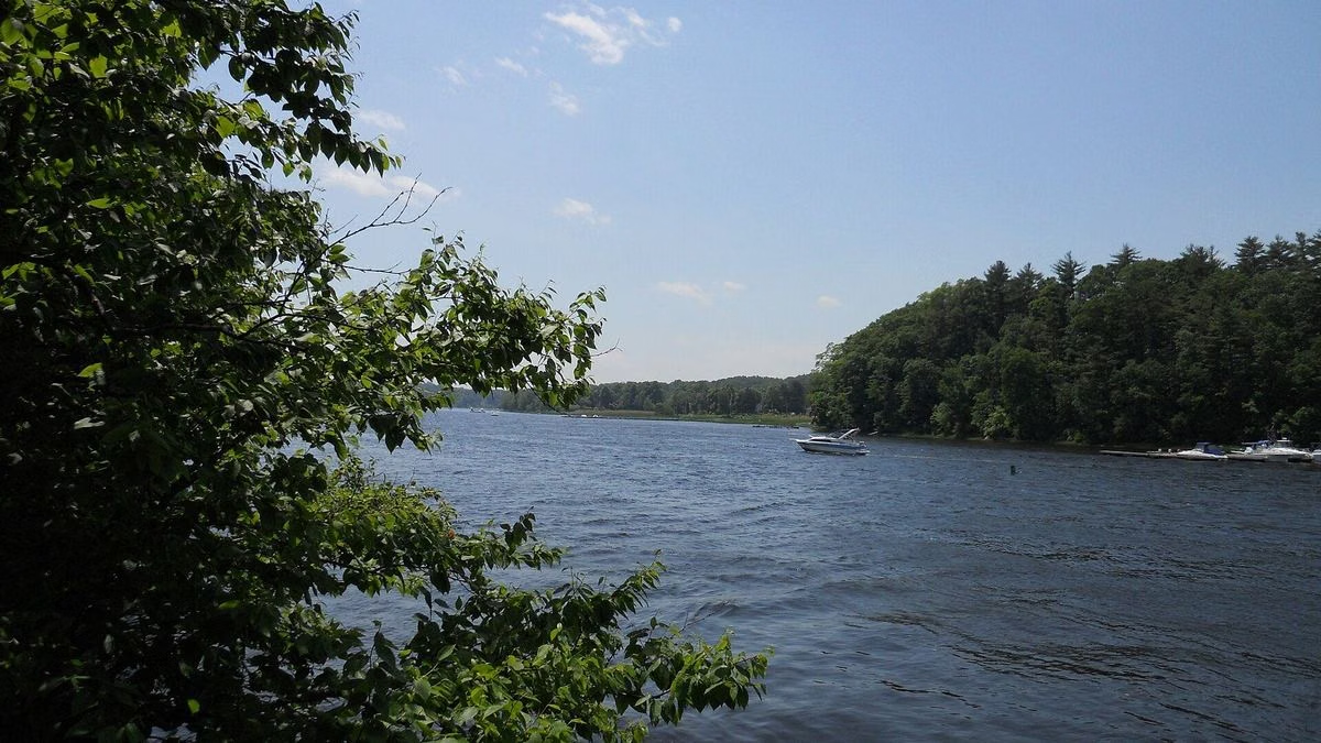
DCR's signature hike enters Hedge Drive at the park gate on Curzon Mill Road, walks to the scenic vista at the Helen Moseley house site, follows the river, circles Castle Hill and comes back by Main Road and the Pasture Trail. Full route on the Merrimack River Trail page.
Moderate: Ride the Bridle Paths (5 miles)
Built for horseback riders but just as good on foot: start on the Pasture Trail and Mile Circle north of the lot, then into the multi-use trails to the east, through rolling meadows, pine-needle paths, stone bridges and big stands of laurel and rhododendron. See horseback riding.
The Trails on DCR's Map
DCR's trail map names the paths but does not give a length for each one. The named roads include Hedge Drive, Main Road, Main Drive, Overlook Road, Cathedral Road, Line Road, North Road and Fire Road. The named trails include the Pasture Trail, Mile Circle, Long Border Trail, Laurel Walk, Castle Hill Trail, Pine Trail, Ridge Trail, Swamp Trail and Well Walk. West of the entrance, the Artichoke Woods Main Trail and Artichoke Woods Fire Road run toward the Artichoke River.
The map's legend sorts them by use. Dotted lines are hiking and skiing trails. Hatched lines are open to hiking, skiing, bicycles and horses. Heart symbols mark DCR's Healthy Heart Trail, rated easy to moderate and meant for routine use. Square markers trace the Merrimack River Trail along the north edge.
Places to Walk To
Maudslay's map numbers 21 spots worth finding: the Main House Site, the Italian and Rose Gardens, the Greenhouse Area, Tower Hill, the Vegetable Garden, the Azalea Swamp, the Rhododendron Dell, the Helen Moseley House Site, the Long Border Garden, the Beech Grove, Christmas Tree Grove, Lower Davis Field, the Punch Bowl (a kettle hole), the Pine Grove, the Open Fields, the Flowering Pond and its dam, Point of Rocks, the Laurels, Castle Hill and Bootlegger's Field. The Laurels line the Merrimack riverbank, and Bootlegger's Field is in the park's northeast section. The park history explains what stood where.
Biking
DCR lists both biking and mountain biking at Maudslay. Ride only on trails marked for bikes, which on the map are the hatched multi-use lines; DCR's brochure asks riders to keep bikes and horses to designated trails. Massachusetts law requires riders 16 and under to wear a helmet.
Seasonal Closure
The Laurels area along the river, between Laurel Walk, Cathedral Road and the Castle Hill Trail, is closed to the public from November 1 to March 31, according to DCR's map. Choose a winter loop that avoids it; see hours and seasons.
Good For / Maybe Skip If
- Good for families: DCR rates the 1–2 mile introductory walk easy and appropriate for families with children.
- Good for dog walkers: dogs are allowed on a leash (10-foot maximum); see rules.
- Good for bikers: DCR lists biking and mountain biking, on the multi-use trails.
- Maybe skip if you want a summit or a long day hike: the park is 480 acres of rolling estate land, and DCR's longest suggested route is 5 miles.
- Maybe skip if you want to swim after the walk: swimming isn't allowed. Head to Salisbury Beach instead.
Before You Go
- Bring water; DCR says drinking water may not be available.
- Download or print the map. DCR notes that some trails may not be well marked or shown on the map.
- Follow painted blazes and signs; a double blaze marks an intersection or a turn.
- Keep groups to 12 or fewer, and carry out everything you carry in.
- Parking is a daily fee all year.
DCR's suggested routes are in its Suggested Hikes, Rides and Paddles PDF for Maudslay.
Maudslay State Park Trails FAQ
How many miles of trails are at Maudslay State Park?
DCR says 16 miles, through fields, forests and historic areas.
What is the best hike at Maudslay State Park?
DCR's signature hike is the Merrimack River Trail, a 2-mile moderate loop along the river and around Castle Hill. For an easy walk, DCR suggests 1–2 miles out the Pasture Trail.
Is Maudslay State Park good for kids?
Yes. DCR rates its 1–2 mile introductory walk easy and appropriate for families with children.
Can you bike at Maudslay State Park?
Yes. DCR lists biking and mountain biking; ride on the trails marked for bikes on DCR's map.
Facts checked against the DCR page for Maudslay State Park on October 18, 2026.