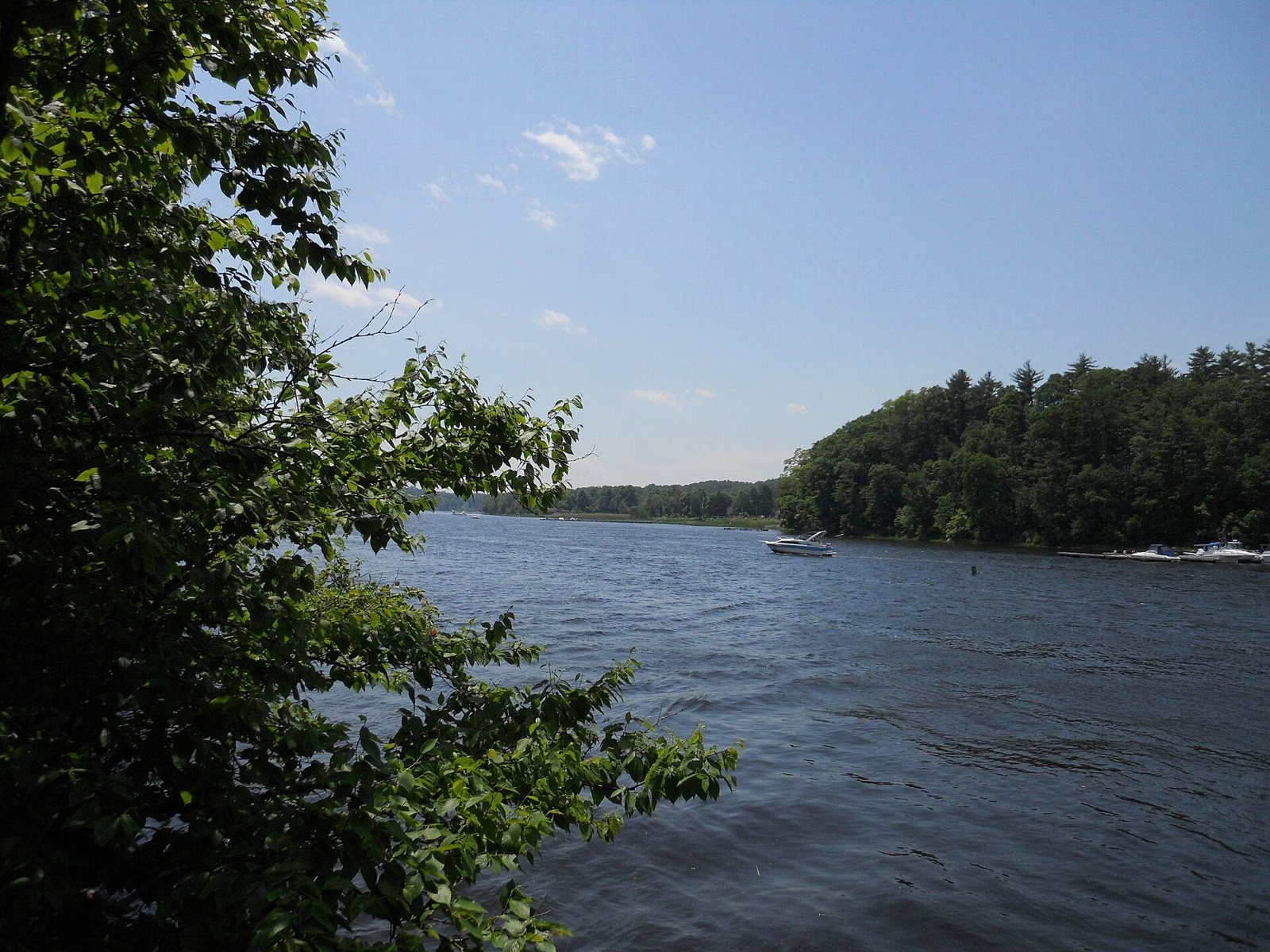
Merrimack River Trail
The Merrimack River Trail at Maudslay State Park is DCR's signature hike for the park: a 2-mile loop rated moderate that follows the river, circles Castle Hill and returns by Main Road and the Pasture Trail to the main lot on Curzon Mill Road in Newburyport. This is not the better-known Merrimack River Trail in Andover, farther up the river; this one is inside Maudslay, on the old Moseley estate, and its riverbank is lined with the mountain laurel the park is known for.
The Trail at a Glance
The Route, Step by Step
- Park in the main lot on Curzon Mill Road (DCR's coordinates: 42.821848, -70.925964). See parking.
- Enter Hedge Drive at the park gate on Curzon Mill Road.
- Walk in to the scenic vista at the Helen Moseley house site, overlooking the river.
- Turn right onto the Merrimack River Trail and follow it along the river.
- Circle Castle Hill.
- Return by Main Road and the Pasture Trail to the lot.
Those are DCR's own directions from its Suggested Hikes guide for Maudslay. On DCR's trail map, the Merrimack River Trail is the line of square markers along the north edge of the park, with a 'Start of Merrimack River Trail' sign marked at its western end on Curzon Mill Road and at its eastern end below Bootlegger's Field.
What You Pass
The walk strings together several of the 21 numbered sites on DCR's map. The Helen Moseley House Site is where Frederick Moseley's daughter Helen built a colonial-style house, Maudslay Hedges, between 1939 and 1941; it burned in 1979, and the site is now a scenic vista. Along the river are the Laurels, the riverbank stand of mountain laurel that DCR says has covered the banks of the Merrimack for centuries.
Castle Hill, also called Laurel Hill, takes its name from Moulton's Castle, a 22-room wooden Gothic house built by Captain Henry Moulton on the hill's east side. Charles Moseley bought it and had it razed in 1900. In the 1920s the Moseleys bought the last parcel on the hill's west side from Katherine Tingley, who had staged outdoor Shakespeare performances there. More in the park history.
How Hard Is It?
DCR rates it moderate. At DCR's planning pace of 1.5 miles an hour, 2 miles takes about an hour and twenty minutes, longer with stops at the vistas. DCR's description of its own guided Castle Hill hike mentions elevation change and some challenging footing on the hill, so wear sturdy shoes rather than sandals.
When to Walk It
The laurels on the river bank peak around the third week of June, according to DCR's bloom guide, and that is the trail's best week. In fall, DCR's brochure notes, the landscape is ablaze with colorful foliage. In winter, check the map first: the Laurels section along this trail is in the area DCR closes to the public from November 1 to March 31, so the full loop isn't available then (see hours and seasons).
Make It Longer
DCR's park interpreters lead a 3-mile round-trip hike to Bootlegger's Field, in the northeast section of the park, describing the trails there as mainly flat with some slopes and a river view. You can extend the river walk east toward Bootlegger's Field on your own using the map.
Good For / Maybe Skip If
- Good for river views and the June laurel bloom.
- Good for leashed dogs: dogs are allowed on a leash, 10-foot maximum (rules).
- Maybe skip if you need a flat, easy walk: try DCR's 1–2 mile introductory walk out the Pasture Trail instead (trails).
- Maybe skip between November 1 to March 31, when the Laurels section is closed.
- Maybe skip if you wanted the Andover Merrimack River Trail: that's a different trail in a different town.
Before You Go
- Bring water; DCR says drinking water may not be available on site.
- Follow blazes and signs; a double blaze means a turn or an intersection.
- Stay on the trail. DCR asks visitors not to pick flowers or remove anything from the park.
- Parking is a daily fee, charged year-round.

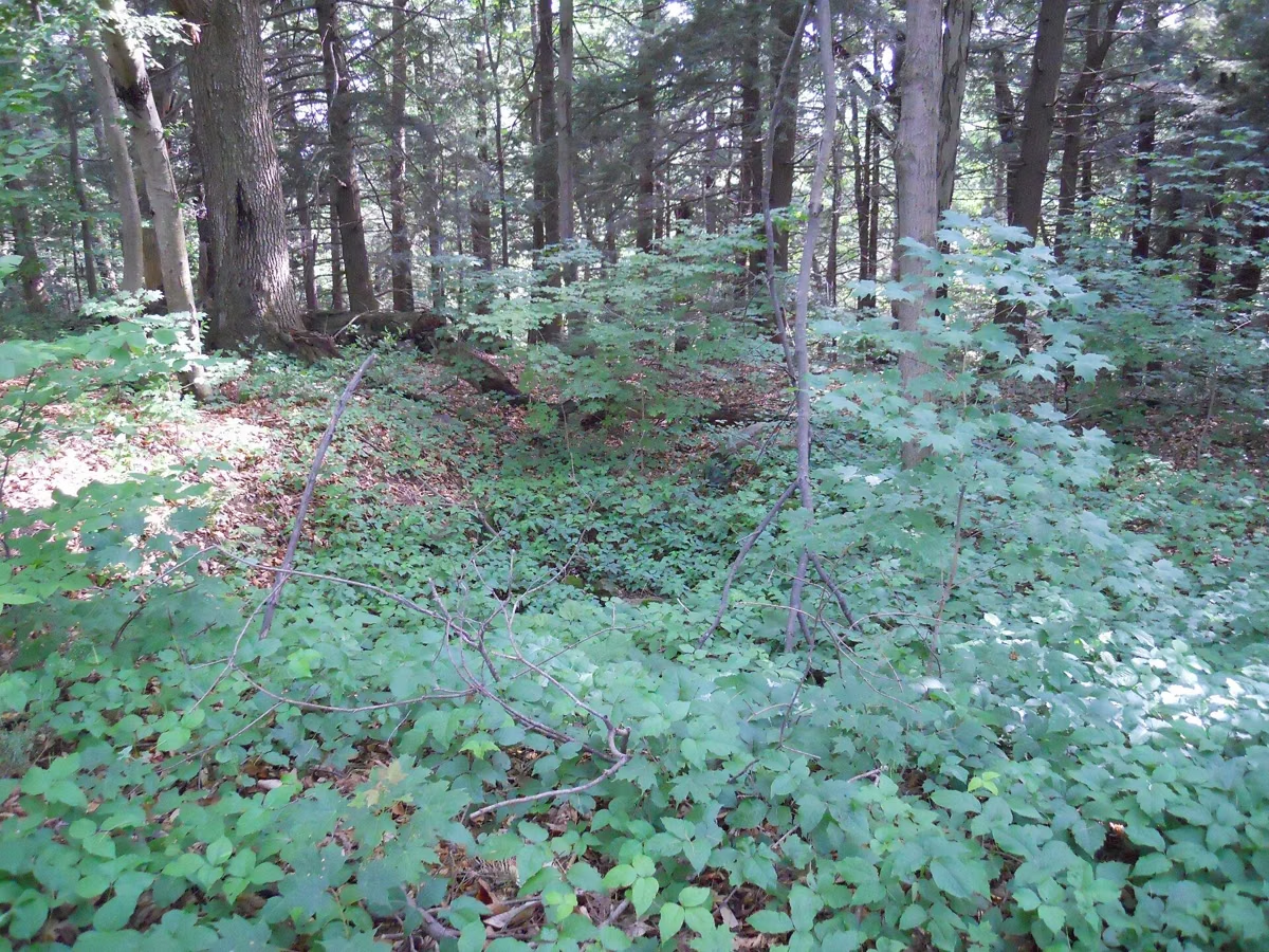
Merrimack River Trail FAQ
How long is the Merrimack River Trail at Maudslay?
DCR gives it as a 2-mile loop, rated moderate, from the main lot on Curzon Mill Road.
Where does the Merrimack River Trail start at Maudslay?
At the main lot on Curzon Mill Road. Enter Hedge Drive at the park gate, walk to the vista at the Helen Moseley house site, then turn right along the river.
Is the Maudslay Merrimack River Trail the same as the one in Andover?
No. The Andover trail is a separate path farther up the river. Maudslay's is inside the state park in Newburyport.
Is the Merrimack River Trail open in winter?
Not all of it. DCR's map closes the Laurels area along the river from November 1 to March 31.
Facts checked against the DCR page for Maudslay State Park on October 18, 2026.